Watershed Protection protects lives, property and the environment of our community by reducing the impact of flooding, erosion and water pollution.
Key Services and Information
Featured Programs and Projects
State of Our Environment Report
The State of Our Environment Report provides a snapshot of Austin's air quality, water, trees, public open space, wildlands, and climate change issues. Read the report in English and Spanish at AustinTexas.gov/Environment.
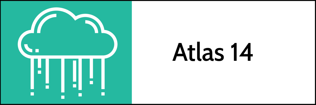
Floodplain Remapping
The City of Austin, Travis County and other Central Texas communities are updating floodplain maps in the region based on the Atlas 14 study. Our current floodplain maps show where flooding is likely to occur with 10.2 inches of rainfall in 24 hours. The updated maps will reflect flooding from almost 13 inches of rain in some areas. This amount of rainfall has a one percent chance of occurring in any given year (the 100-year storm). Find out more about floodplain remapping efforts at ATXFloodplains.com.
Rain to River
Rain to River is a strategic plan that will guide the work of the Watershed Protection Department for the next 10 years. Our department will use this plan to set goals, prioritize our work, and guide our decision making to tackle urgent challenges such as climate change and racial inequities. The plan will update and replace the current Watershed Protection Strategic Plan. We need your help to draft the plan!
Recommended Video
What's on Facebook?
For nature lovers, data nerds, & anyone interested in environmental quality-of-life issues in Austin, we have a short quiz for you. 🙂
Our city's goal is 50% tree canopy (overhead coverage) to reduce summer temperatures & much more. What is our current coverage?
What is becoming the greatest source of greenhouse emissions in Austin?