
GIS and Maps
Interactive Web Maps
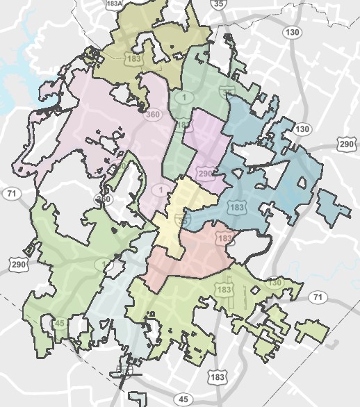 |
Identify your City Council district by typing in your address. |
 |
Determine a location's jurisdiction by searching for an address or street name. |
 |
Property Profile answers questions about specified properties and development regulations within the City. With Property Profile you can search for information, see aerial images including street views, create custom maps, download data, and run a report detailing information about a specified property. |
 |
An interactive map where you can find a park, trail, or the nearest parks and recreation amenity/facility. |
 |
Parks and Recreation Geospatial Hub This HUB hosts feature services for the public to utilize such as the parks and assets map, an off-leash dog area map, and a pickleball nearby application. The site also includes information and dashboards pertaining to Park Planning and Land, Historical Resources, Park Rangers and Capital Improvement Projects. |
 |
Customer Outage Portal. Shows location and severity of power outages across the city. |
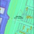 |
Viewer with a default view of downtown and containing overlays and districts specific to downtown. |
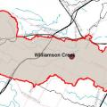 |
Find out which watershed you live in. |
 |
Floodplain Buyouts - Retired: 5/18/2022 The floodplain buyouts viewer is retired. In the future, you can find floodplain buyout information here. Flood Mitigation Buyout Map provides the status of flood mitigation buyout activities in the City of Austin. |
 |
Contains a variety of useful information about flooding in Austin. |
 |
Crime Viewer
|
|
|
Find details about your property’s drainage charge. Austin's drainage charge is assessed on utility bills and pays for solutions to flooding, erosion, and water pollution |
 |
City of Austin Cartographic Style Reference The City of Austin Cartographic Style Reference is a comprehensive guide that details the design properties for the majority of layers contained in the city's GIS database. View the style guide. |
Disclaimer
The products above are for informational purposes and may not have been prepared for or be suitable for legal, engineering or surveying purposes.
They do not represent an on-the-ground survey and represent only the approximate relative location of property boundaries.
These products have been produced by the City of Austin for the sole purpose of geographic reference.
No warranty is made by the City of Austin regarding specific accuracy or completeness.