
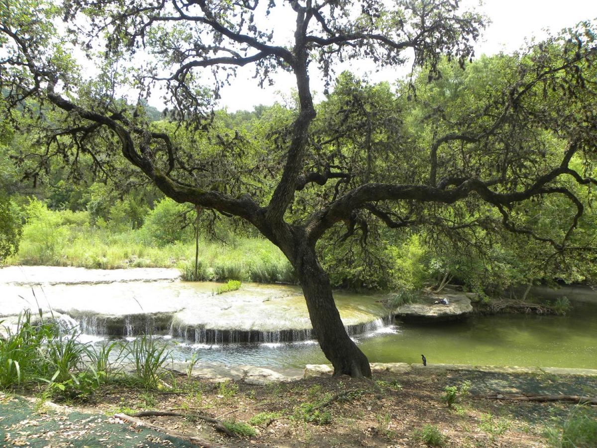
Austin’s water features are a source of immense pride for its residents and a powerful magnet for visitors, new residents and businesses. Austin’s citizens were among the first in the nation to recognize the connection between well-planned development and continued high water quality from flooding and erosion.

What are Watershed Ordinances?
Watershed ordinances are one way we protect water quality in Austin’s creeks, rivers, lakes, and springs and protect lives and property from flooding and erosion.
Ordinances are a tool by which the City Council, with public review and input, modifies and improves Austin’s Land Development Code (LDC). The LDC contains the rules that land development projects must follow in order to be legally permitted. Examples of watershed protection ordinance provisions include: stream and sensitive environmental feature setbacks; floodplain and erosion hazard protections; requirements for flood detention and water quality treatment; and impervious cover limits.
Why Ordinances Matter
Development anywhere within a watershed can have an impact on the body of water into which it flows. The protection of these watersheds is therefore critical to the health of the waterways.
Because some watersheds are more vulnerable than others, requirements are calibrated based on the sensitivity of the particular watershed.
Watershed Protection Ordinance
In October 2013, city Council passed the Watershed Protection Ordinance (WPO), a comprehensive overhaul of Austin’s environmental and drainage code.
At the core of the WPO are three interrelated changes: better stream buffers, improved floodplain protections and new erosion hazard provisions. The ordinance extends creek buffers—setbacks to ensure that development is not built too close to waterways—for over 400 miles of smaller-“headwaters” streams. The WPO also recognizes the importance of protecting natural floodplains and the need to plan for and guard against natural and human-caused creek erosion.
In January 2015, the City kicked off a public stakeholder process known as the Green Infrastructure Working Group to provide recommendations to the CodeNEXT land development code revision. The group is discussing how we can achieve the Imagine Austin goals of integrating nature into the city, sustainably managing our water resources, and creating complete communities through revisions to the zoning, drainage, and environment codes. Topics being addressed through this process include land cover and natural function, integrating nature into the city, beneficial use of stormwater, and stormwater options for redevelopment and infill.
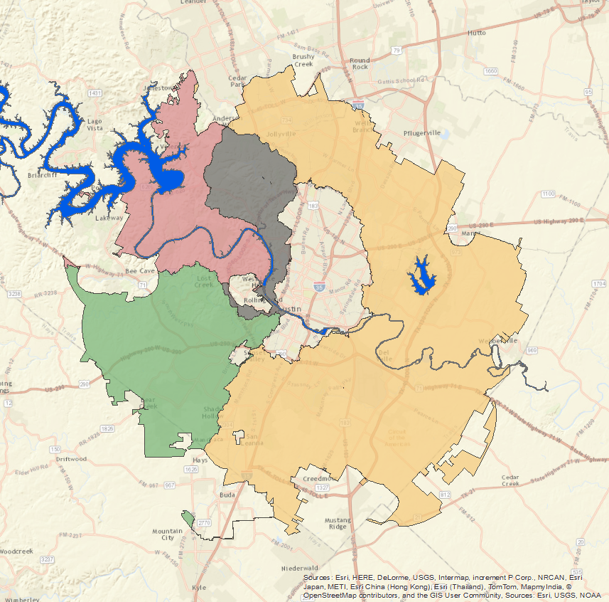
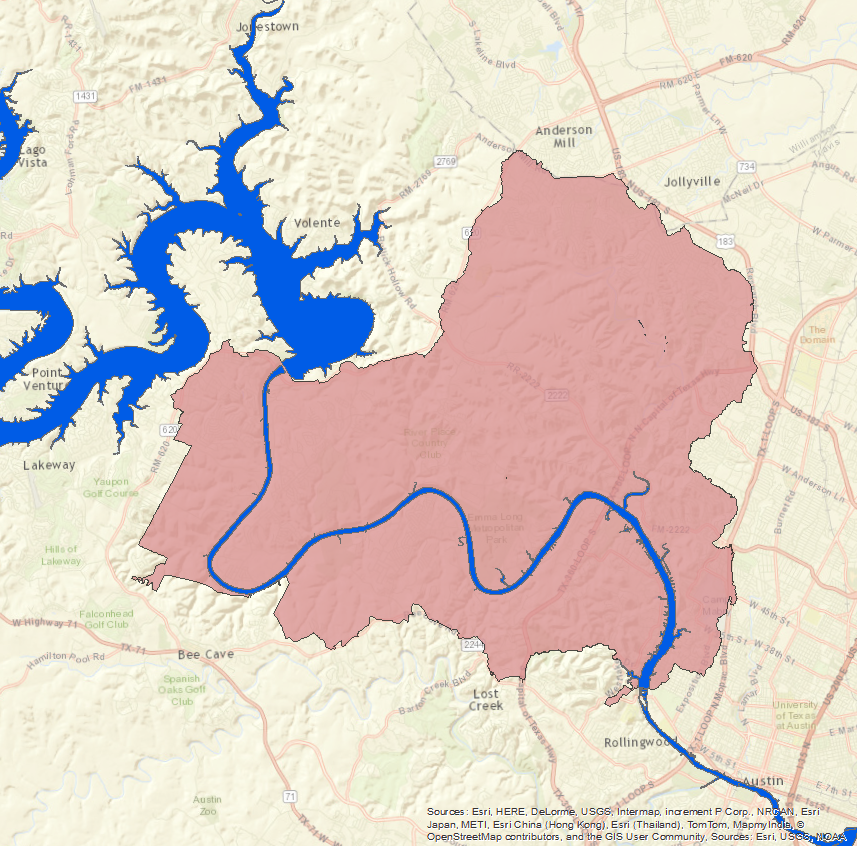
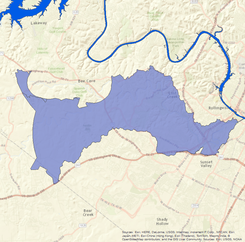
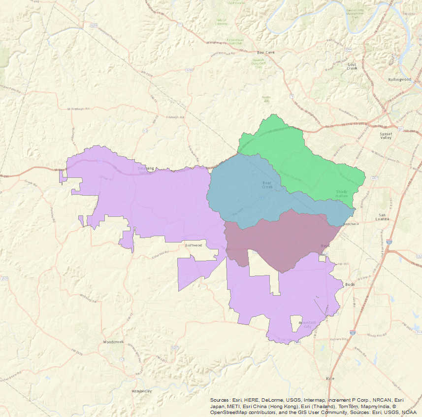
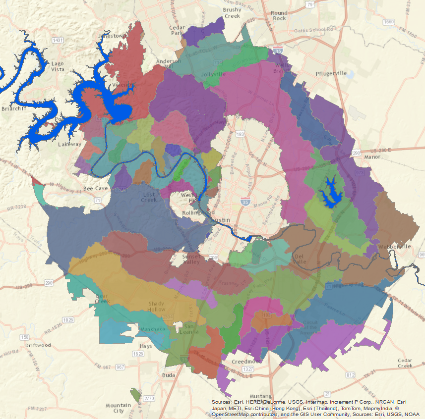
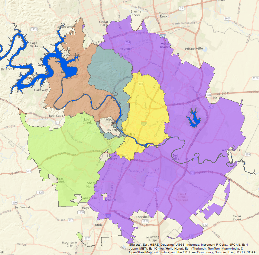
The City of Austin Watershed Regulation Summary Table summarizes the current watershed regulations by zone and watershed classification and the City of Austin Watershed Regulation Area Map illustrates where those watershed classification areas are located.
Click to view a series of short training videos about the Watershed Protection Ordinance
Historic Watershed Ordinances
The City of Austin was an early US leader in flood and water quality protection. The following sections briefly describe the eight most important watershed ordinances from the past 40 years.
1974
 The Waterway Ordinance
The Waterway Ordinance was the City’s first watershed protection ordinance, well-“ahead of its time”-for US and Texas regulations. Key features of the ordinance included a call to maintain the “natural and traditional character” which would allow for unpiped and unaltered waterways and requirements to prevent adverse flooding made possible by flood detention.
1980
 The Lake Austin Watershed Ordinance (LAWO)
The Lake Austin Watershed Ordinance (LAWO) was adopted as the City’s first major attempt to address water quality degradation in the face of increasing urbanization. Key features of the ordinance included impervious cover limits, restrictions on development on steep slopes, cut and fill limits and construction-phase erosion and sedimentation controls.
 The Barton Creek Watershed Ordinance (BCWO)
The Barton Creek Watershed Ordinance (BCWO) narrowed in on non-structural water quality controls. Key features of the ordinance included impervious cover limits and stream setbacks.
 The Williamson Creek Watershed Ordinance (WCWO)
The Williamson Creek Watershed Ordinance (WCWO) applied to structural water quality controls to areas of Williamson Creek contributing recharge to the Edwards Aquifer.
1981
 The Lower Watersheds Ordinance (LWO)
The Lower Watersheds Ordinance (LWO) extended water quality protection into the portion of Slaughter, Bear, Little Bear and Onion Creek Watersheds contributing to the Edwards Aquifer much like the Williamson Creek Ordinance did for areas contained in Williamson Creek.
1986
 The Comprehensive Watersheds Ordinance (CWO)
The Comprehensive Watersheds Ordinance (CWO) extended water quality protection throughout the City of Austin’s planning area to all but the urban watersheds. The CWO varied the requirements of regulations based on relationships to water supply and degree of urbanization within a watershed. In addition to stream setbacks, water quality controls, and impervious cover limits, key additions of the ordinance included net site are and critical environmental feature protection.
1991
 The Urban Watersheds Ordinance (UWO)
The Urban Watersheds Ordinance (UWO) extended protection to the urban watersheds, including water quality controls and stream buffers.
1992
 The Save Our Springs Ordinance (SOS)
The Save Our Springs Ordinance (SOS) addressed development in the Barton Springs Zone. This ordinance was initiated by citizens and included:
• Requirements for non-degradation of stormwater discharge concentrations
• Impervious cover limits of 15% for the recharge zone, 20% for the contributing zone in Barton Creek and 25% for the remaining portion of the contributing zone
• The exclusion of variances
2013
 The Watershed Protection Ordinance (WPO)
The Watershed Protection Ordinance (WPO)
Code And Criteria Manuals:
The Land Development Code establishes rules for development throughout the city, including location, density and uses built through zoning, subdivision and site plan processes.
- (Title 25) Chapters 25-1 thru 25-13 regulate development within the City’s planning and zoning jurisdiction.
Chapters 25-7 regulate drainage.
Chapters 25-8 regulate environmental elements. - (Title 30) Austin/Travis County Subdivision Regulations apply to the subdivision of land in the portion of the City of Austin’s extraterritorial jurisdiction that is within the Travis County, including the areas that the city has annexed for limited purposes.
Environmental Criteria Manual (ECM)
The ECM addresses the issues of water quality management, landscaping, preservation of trees, natural areas and the underground storage. These rules interpret and specify the requirements established in the Land Development Code.
The Drainage Criteria Manual (DCM)
The DCM establishes standard principles and practices for the design and construction of drainage systems. The DCM describes the applications of accepted principles for surface drainage engineering and is complementary to basic information obtainable from standard references on hydrology, hydraulics and water resources.