
Jamestown Tributary Stream Rehabilitation
CIP ID 5848.026
Project Overview
This project will stabilize erosion along Little Walnut Creek and reduce localized flooding on Jamestown Drive, protecting yards, trees, buildings and other infrastructure by:
- Stabilizing approximately 2,500 feet of streambank, from Thurmond Drive to Payton Gin Pocket Park, using natural limestone boulders, mechanically stabilized earth walls, and graded slopes.
- Upgrading storm drain pipes along Jamestown Drive.
- Upsizing Austin Water wastewater lines
- Installing a new pedestrian-friendly bridge over the creek on Fairfield Drive to reduce flooding over the roadway.
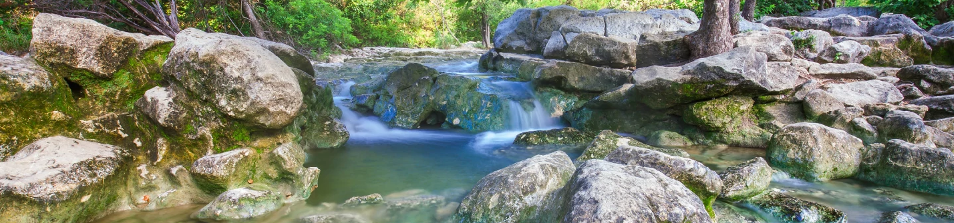
- Planting native vegetation along the streambanks and removing large concrete debris. This will restore the natural habitat of the creek and improve water quality.
Read the most recent Jamestown project update from April 10, 2026.
- Cost
$8.2 million mostly from the drainage charge on utility bills and the 2018 voter-approved bonds.
- Work Hours
Work will be between 7 a.m. and 7 p.m. on weekdays and potentially some weekends.
- Timeline
Construction started in May 2026. The estimated completion date is Winter 2027
North Austin, Council District 4
Project Map
This project is in the Jamestown Tributary to Little Walnut Creek watershed. The project is located along Jamestown Drive, just west of Lamar Boulevard and south of Payton Gin Road.
What to Expect During Construction
Construction can be stressful to people, trees and wildlife. We will do everything we can to help. Please reach out to the construction inspector with any concerns.
Please expect the following:
- Noise, dust, and vibrations.
- Workers and equipment in the creek behind houses.
- Detours, no parking areas and road closures. About half a block will be closed to traffic at a time. The closed area will move as the work progresses.
- Digging behind the curb in some spots to install inlets.
Things to Remember
- Please slow down around workers, obey all signage, and do not park in "No Parking" zones. If you’re on foot or on your bike, please follow the detours as well.
- Stay out of all fenced-off areas and keep child and pets away from construction sites and equipment.
- Leave extra time for travel.
- Water, Garbage and Utilities
Please set your garbage, recycling and yard trimmings out as normal.
We will need to shut off water twice to complete some of the work for this project.
- There will be a planned outage when the new water line is brought into service. We will leave a notice 48 hours in advance.
- We will briefly turn off water without notice to test valves and equipment ahead of the planned outage.
- There is always the possibility of a temporary, loss of water or other service if a pipe or line is broken. We’ll respond immediately to restore service if this happens. We have done a lot of research ahead of time to pinpoint where all the underground utilities are. This should help us avoid breaking any pipes.
- Staging Areas
We will be storing equipment and materials in a section of Jamestown Neighborhood Park Fencing will be installed around the staging area.
- Home Access
You will always have access to your home, but please allow an extra 15 minutes to enter and exit your driveway when work is directly in front of your house.
- Trees
Trees are important to us, but we will need to remove some to complete this project. We will be taking steps to protect other trees with fencing or planking. We may trim low-hanging branches.
- Fish
We need a dry work area to complete this project and will be installing a temporary dam to dry out part of the creek. We will be moving fish out of the way to a safe location first!
Key Contact
Darryl Haba, Project Manager, 512-293-8052
Ingrid Tower, Project Coordinator, 512-974-6326
Want to know more?
This is a project to restore eroded areas and protect against future erosion. Creek erosion occurs when flowing water removes soil and rocks from stream banks and streambeds. Creek erosion can threaten homes, roads, bridges, trees, parkland, utilities and other infrastructure.
Explore this interactive map to see what area drains to Little Walnut Creek and other Austin watersheds.
We have acquired a number of easements before starting construction. Some provide space for water to flow. Some allow us to install, access, and maintain pipes and other infrastructure.
Use the information and resources on this page to protect yourself, your family and your property before, during and after a flood.
This is a project to restore eroded areas and protect against future erosion. Creek erosion occurs when flowing water removes soil and rocks from stream banks and streambeds. Creek erosion can threaten homes, roads, bridges, trees, parkland, utilities and other infrastructure.
Explore this interactive map to see what area drains to Little Walnut Creek and other Austin watersheds.
We have acquired a number of easements before starting construction. Some provide space for water to flow. Some allow us to install, access, and maintain pipes and other infrastructure.
Use the information and resources on this page to protect yourself, your family and your property before, during and after a flood.