
Development Public Improvement Districts
About
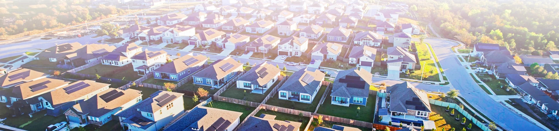
Development Public Improvement Districts (PIDs) are special‑purpose districts created through partnerships with private developers and the City that support economic development and build master‑planned communities. Development PIDs are typically located just outside current city limits but are close enough to be considered for future annexation. Infrastructure within a Development PID is financed through City‑issued bonds, which can help secure favorable rates and lower overall project costs. Property owners within the PID contribute to the costs of public improvements through assessments that help support the infrastructure and amenities provided in the area. As required by state law, the City reviews and updates the PID’s Service and Assessment Plan each year.
The City of Austin currently has three Development PIDs: Estancia, Indian Hills and Whisper Valley.
Development PID
Estancia Overview
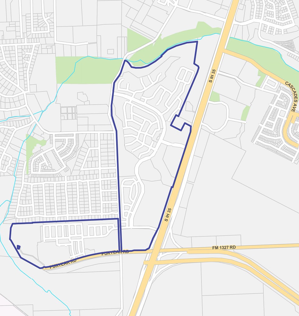
The Estancia Hill Country Development PID was created by the Austin City Council on June 6, 2013, to help finance the public infrastructure needed for the development (via Resolution No. 20130606-054). Establishing Estancia Hill Country as a Development PID provides a funding mechanism for roadways, utilities and other improvements that support the planned mixed‑use community. The City has issued bonds to support these improvements. The PID is in the City’s limited‑purpose jurisdiction and remains under active development.
Development PID
Estancia Master Plan
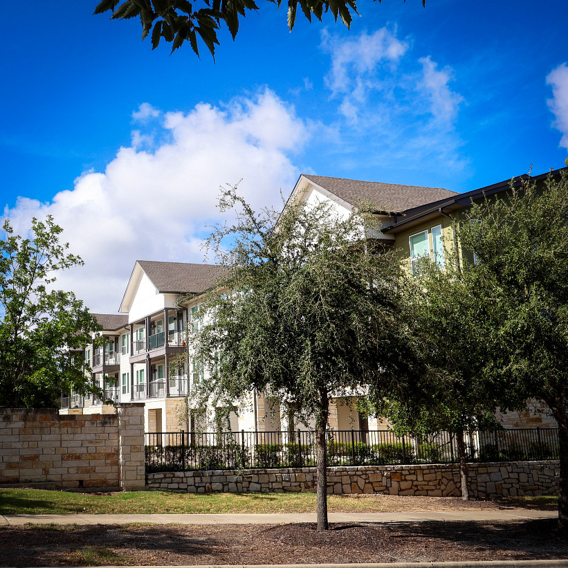
Estancia Hill Country Development PID is a nearly 600‑acre, master‑planned mixed‑use project west of I‑35, about a mile south of Onion Creek Parkway. The development includes several hundred homes built by the developer, Lennar, along with planned retail, commercial areas and a corporate office campus. Community features include gated access, private streets, parks, trails and a community pool.
Development PID
Indian Hills Overview
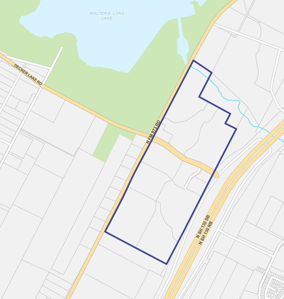
The Indian Hills Development PID was created by the Austin City Council on August 26, 2010 (via Resolution No. 201008626-023), to help finance the public infrastructure needed for the development. Establishing the Indian Hills as a Development PID provides a funding mechanism for roadways, utilities, and other improvements that support the planned community. The City later issued bonds to support these improvements. The PID is in the City’s limited‑purpose annexation and extraterritorial jurisdiction in east‑central Travis County and remains under development.

Development PID
Indian Hills Master Plan
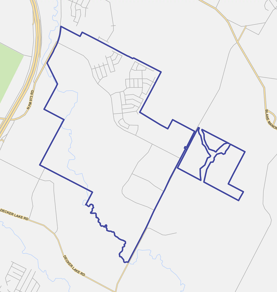
Indian Hills Development PID is a mixed‑use planned community of about 240 acres located west of SH 130 and south of US‑290 East. The development plan includes approximately 1,200 medium‑density apartment units and about 2.9 million square feet of office, warehouse, distribution and neighborhood retail space. The central portion of the site is reserved for the future extension of Decker Lake Road, the main thoroughfare.
Development PID
Whisper Valley Overview
Whisper Valley is a Development PID in East Austin near Manor, Texas. Created on August 26, 2010, the PID helps finance core infrastructure for the development, including the Braker Lane extension, water and wastewater lines and a wastewater treatment plant (via Ordinance No. 20241121-016). The City of Austin has issued special assessment revenue bonds to fund these improvements. The PID covers about 2,065 acres in the City’s limited‑purpose jurisdiction, with roughly 1,429 acres planned as Assessed Property. The area is still under development, and parcels have not yet been subdivided.

Development PID
Whisper Valley Master Plan
Whisper Valley Development PID is planned as a zero‑energy‑capable, master‑planned community featuring residential neighborhoods, business areas and more than 700 acres of parks and open space. At full buildout, the community is anticipated to include single‑family and multifamily housing, commercial and mixed‑use areas and the supporting infrastructure needed to create a complete and sustainable community.
The development is designed by a team of planners, engineers, and design specialists focused on long‑term growth and environmental sustainability. Planned features include neighborhood services, restaurants, retail space, offices, two school campuses, an emergency services facility and a transportation hub. These elements are intended to create a well‑connected and convenient place to live, work and shop. Development is organized into phases based on project progress. Phase 1 is complete, and construction on subsequent phases is underway, with future phases advancing through design and planning.